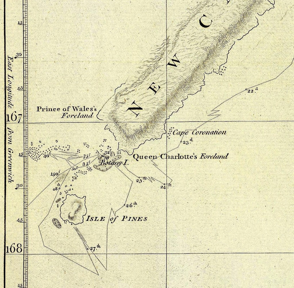
CARTE NOUVELLE-CALEDONIE 1774
Chart of Discoveries made in the South Pacific Ocean
in
His Majesty's Ship Resolution
Under the Command of Captain Cook 1774
Published as the act directs Feby. 1st, 1776.
in
His Majesty's Ship Resolution
Under the Command of Captain Cook 1774
Published as the act directs Feby. 1st, 1776.
Engraved by W. Palmer.
Published Febry. 1st, 1777 by Wm. Strahan in New Street, Shoe Lane & Thos. Cadell in the Strand, London.
Télécharger la totalité de la carte au format JPG (7.72 MO) ici (Archive .rar)
Published Febry. 1st, 1777 by Wm. Strahan in New Street, Shoe Lane & Thos. Cadell in the Strand, London.
Scale 1 : 2,200,000
Engraved nautical chart. Relief shown by hachures. Shows track of the Resolution. Oriented with north toward right.
Engraved nautical chart. Relief shown by hachures. Shows track of the Resolution. Oriented with north toward right.
Isle of Pines - Pictures (here)
Télécharger la totalité de la carte au format JPG (7.72 MO) ici (Archive .rar)
